About NUGeoTec at Weber State University
What is NUGeoTec?
Weber State University, with support from the National Science Foundation, is developing the Northern Utah Geospatial Technology Education Program (NUGeoTec).
Geospatial Technology includes :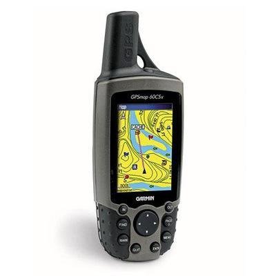
- Geographic Information Systems (GIS)
- Remote Sensing (airborne and satellite imagery)
- Computer Cartography (digital mapmaking)
- Global Positioning and Navigation Systems (e.g., GPS).
There is great demand for these skills among employers nationwide. WSU has a unique dual role mission as the regional community college for much of northern Utah and also as a large, public, comprehensive university. NUGeoTec will prepare post-secondary students for successful employment in the rapidly growing geospatial workforce, and will also create advanced educational opportunities for people with existing training and experience in the geospatial technologies fields. These goals will be achieved by developing a new Certificate and a related Associate Degree in Geospatial Technology (Community College Tier) and pdating the existing Certificate and Minor in Geospatial Analysis at WSU (University Tier). A local advisory board (comprised of university, industry, government, and community leaders) is assisting in the development of these programs, guided by the U.S. Department of Labor Geospatial Technology Competency Model and the best practices recommendations compiled by the national GeoTech Center. NUGeoTec is expected to serve a broad and growing group of students, educators, and employers in northern Utah.
This material is based upon work supported by the National Science Foundation under Grant Number NSF DUE - 1304888. Any opinions, findings, and conclusions or recommendations expressed in this material are those of the author(s) and do not necessarily reflect the views of the National Science Foundation.